Emergency Advisories
(Refresh Page if New Content is not Showing)
SIGN UP FOR UMATILLA COUNTY EMERGENCY ALERTS:
OR-Alert - Umatilla County
FAQ - More info
Evacuation Levels and Information are also posted on the Umatilla County Sheriff's Office Facebook as they are issued.
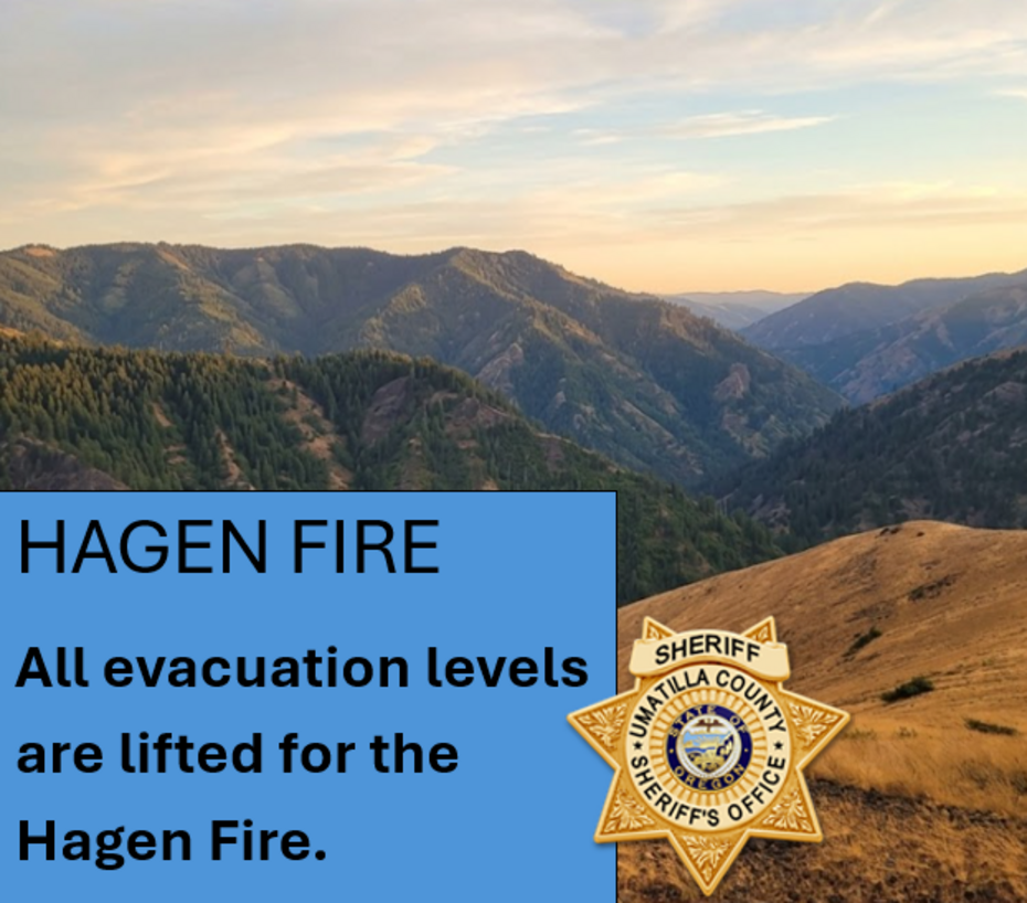
HAGEN FIRE
Current as of August 10, 2026 at 02:00 p.m.
EVACUATION LEVELS INCREASED FOR THE HAGEN FIRE along HIGHWAY 204
August 10, 2026 at 02:00 p.m.
Current Evacuation Map Genasys
**The EVAC LEVEL descriptions listed below ONLY show the recently changed/ elevated EVAC LEVELS.
**To see ALL evac levels currently in effect for the HAGEN FIRE click on the CURRENT EVACUATION MAPS above**
The fire continues to expand across the North Fork of the Umatilla River, and we are committed to ensuring that all residents remain informed and prepared as conditions evolve. According to this morning’s Fire OPS briefing, fire crews may begin to utilize defensive firing operations to mitigate unburned fuel between their control line and the fire to build a buffer.
Effective immediately evacuation levels have been elevated in these areas of Umatilla County:
UMATILLA COUNTY ELEVATED TO
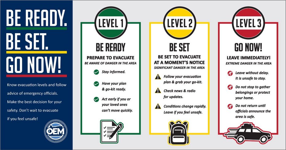
LEVEL 3 – GO NOW
Evacuation Zones:
UMC – 151-D
UMC – 155-B
UMC – 155-A
UMC – 119-B
EXPANDED: LEVEL 3 – GO NOW includes the areas north and south of Highway 204 between milepost 9 and Bob White Lane. Including:
Bob White Lane
Lower Basket Mountain Road
Basket Mountain Road
Wildwood Loop
Snowshoe Lane
Strawberry Lane
Tamarack Lane
Willow Road
Meadowood Lane
Giger Lane
Lupine Lane
Narkus Lane
Abel Lane
Residents in LEVEL 3 areas should leave immediately. Imminent danger in the area. Leave without delay. It is unsafe to stay.
Fire conditions can change rapidly and unpredictably. Do not wait for an official evacuation order if you feel unsafe or see immediate danger. Leave without delay.
All other previously issued levels in Umatilla County remain the same.
____________________________________
UNION COUNTY
Evacuation Levels have not changed in Union County. All previously issued levels in Union County remain the same.
____________________________________
ROAD CLOSURES
Oregon Department of Transportation (ODOT) has also issued a ROAD CLOSURE for HIGHWAY 204 between Weston and Elgin, milepost 0 to 39, due to wildfire. Check TripCheck.com for updates.
The public is strongly urged to strictly adhere to all current road closures and to cooperate fully with law enforcement and emergency personnel. These measures are essential to safeguarding both community members and the fire crews currently working in the affected zones. Please be advised that any unauthorized access to closed roads poses a significant risk to your personal safety and can critically disrupt active firefighting operations. We appreciate your continued vigilance and cooperation in prioritizing public and crew safety.
Current Evacuation Map Genasys
Current Evacuation Map Raptor
Umatilla County Emergency Advisory Information:
Union County Emergency Services:
Sign-up for emergency alerts: www.oralert.gov
Continue to follow official fire updates at Paradise, Hagen and Horse Ridge Fire Information
Photos are from the evening of 08-09-2029 by Umatilla County Sheriff's Office.
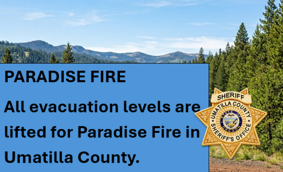
PARADISE FIRE (Mill Creek Watershed)
Notice Issued on 08/05/2026 @ 3:00 p.m.
Effectively immediately evacuation levels have been elevated in Umatilla County related to the PARADISE FIRE in the Mill Creek Watershed:
LEVEL 2 (GET SET):
Evacuation Zones:
UMC - 1406043 -D
UMC - 1406043 -C
Area includes all residences EAST of Tiger Canyon Road on the north and south side of Mill Creek Road.
Walla Walla County has also issued evacuation notices (Verify with Walla Walla Co)
Current Evacuation Map Genasys
Current Evacuation Map Raptor
Umatilla County Emergency Advisory Information: Emergency Advisories - Umatilla County
Sign-up for emergency alerts: www.oralert.gov
Continue to follow official fire updates at Paradise, Hagen and Horse Ridge Fire Information.
SHELTER INFORMATION
FIRE MAPS:
Current Evacuation Map
SIGN UP FOR UMATILLA COUNTY EMERGENCY ALERTS:
OR-Alert - Umatilla County
FAQ - More info
SHELTER:
NEIGHBOR 2 NEIGHBOR
715 SE Court Ave, Pendleton, Oregon
PRESS RELEASE FROM USDA - Emergency Designation
USDA Designates Eight Oregon Counties as Natural Disaster Areas
LIVESTOCK (for those in evacuation zones)
Pendleton Round-up Grounds
Contact their office for requests: (541) 276-2553
PBR Horse Boarding in La Grande>
Contact them for requests: (541) 910-4140
Milton-Freewater Junior Show Grounds - map
Contact them on Facebook for requests.
Walla Walla County Fairgrounds - map
Contact Greg Thompkins for requests: 509-520-3247
ROAD CLOSURES:
Highway 204: Verify on ODOT Trip Check
Bingham Rd from Cayuse/Thorn Hollow to FS RD 32
AIR QUALITY
Oregon Smoke Blog - Fire and Smoke Map
EPA's Air Now - Current Air Qualify
AIR SPACE RESTRICTIONS:
Know B4 You Fly (Temporary Flight Restrictions over Fires)
NATIONAL INCIDENTS
IncWeb Fires
NW COORDINATION CENTER PREDICTIVE SERVICES
Advisory (Fuels and Fire Behavior)
OREGON STATE FIRE MARSHAL
Facebook
Lower Dry Creek Fire Facebook
STATE OF OREGON WILDIFE RESOURCES:
Website
STATE OF OREGON PARKS
Fire Restrictions
U.S. FOREST SERVICE EMERGENCY CLOSURE:
Hagen and Horse Ridge Fire Emergency Closure
USFS Closure Order and Map (Hagen Fire)
Paradise Fire Emergency Closure
USFS Closure Order and Map ( Paradise Fire)
UMATILLA COUNTY SHERIFF
Website
Facebook
UMATILLA COUNTY
Website
Public Health Facebook
Declaration of Emergency